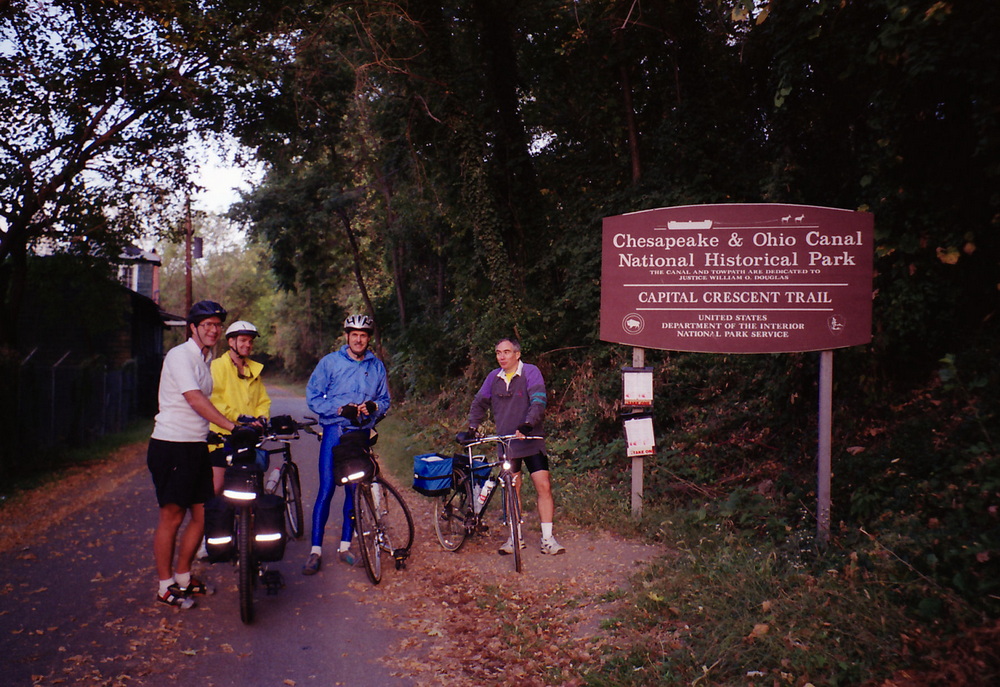
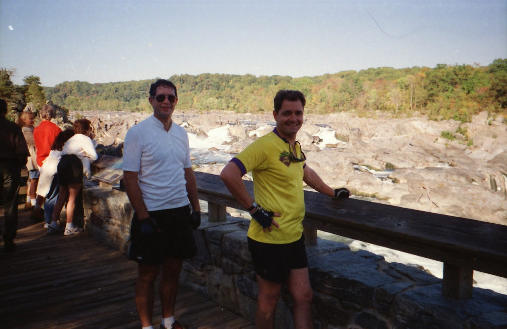
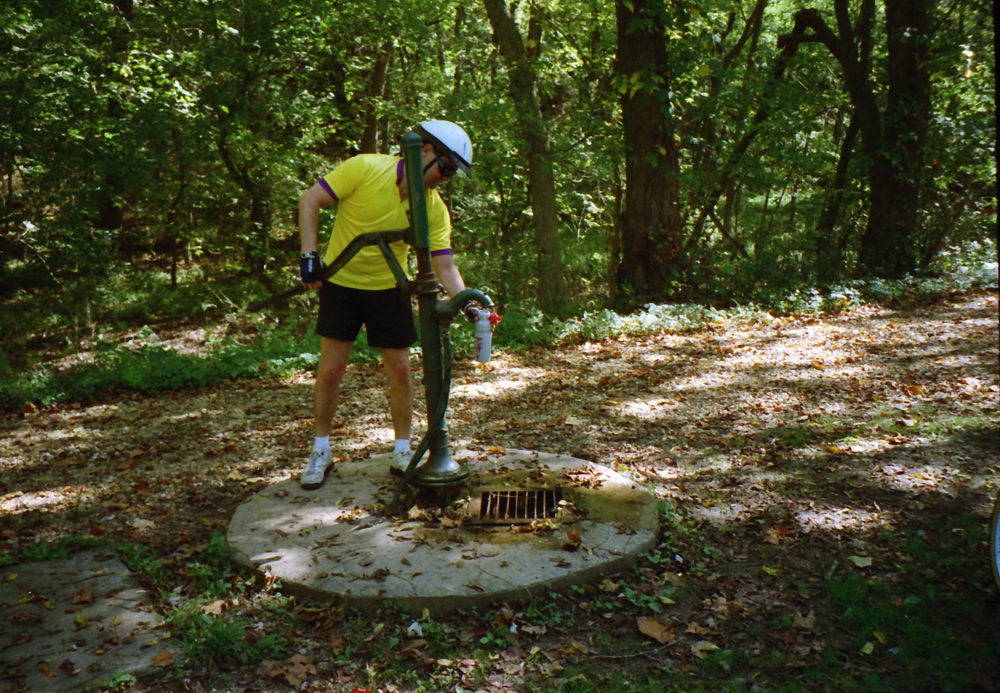
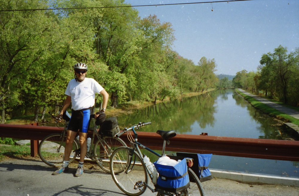
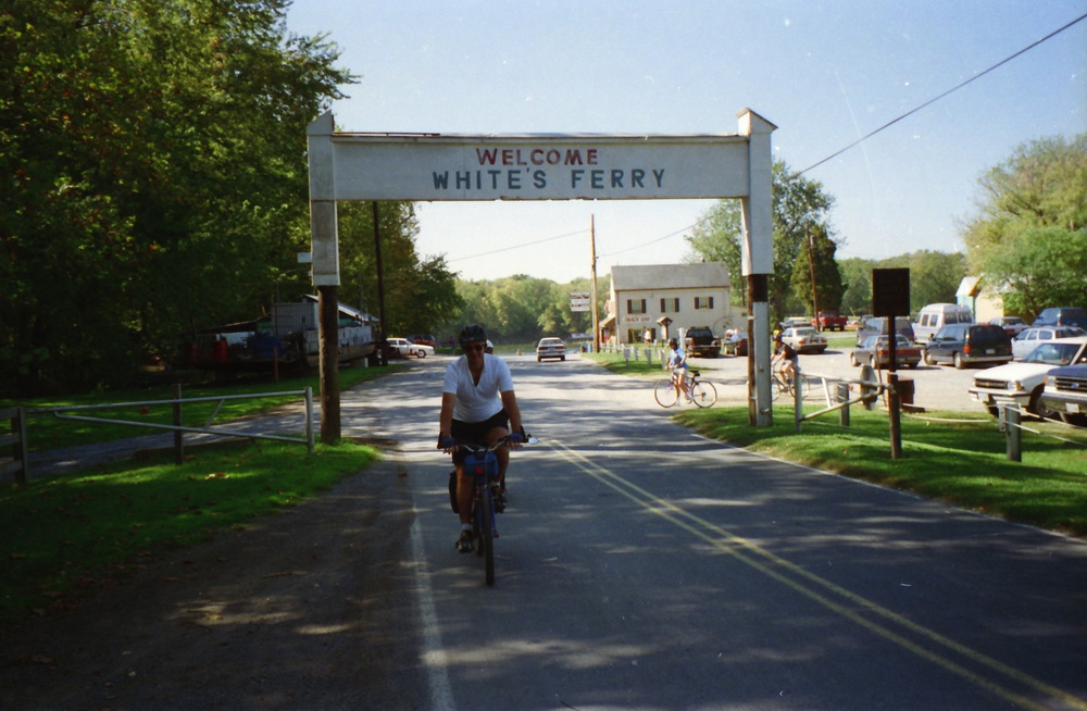
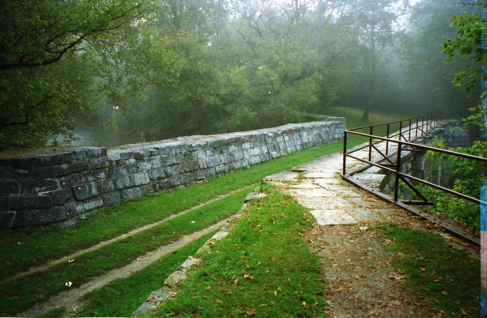
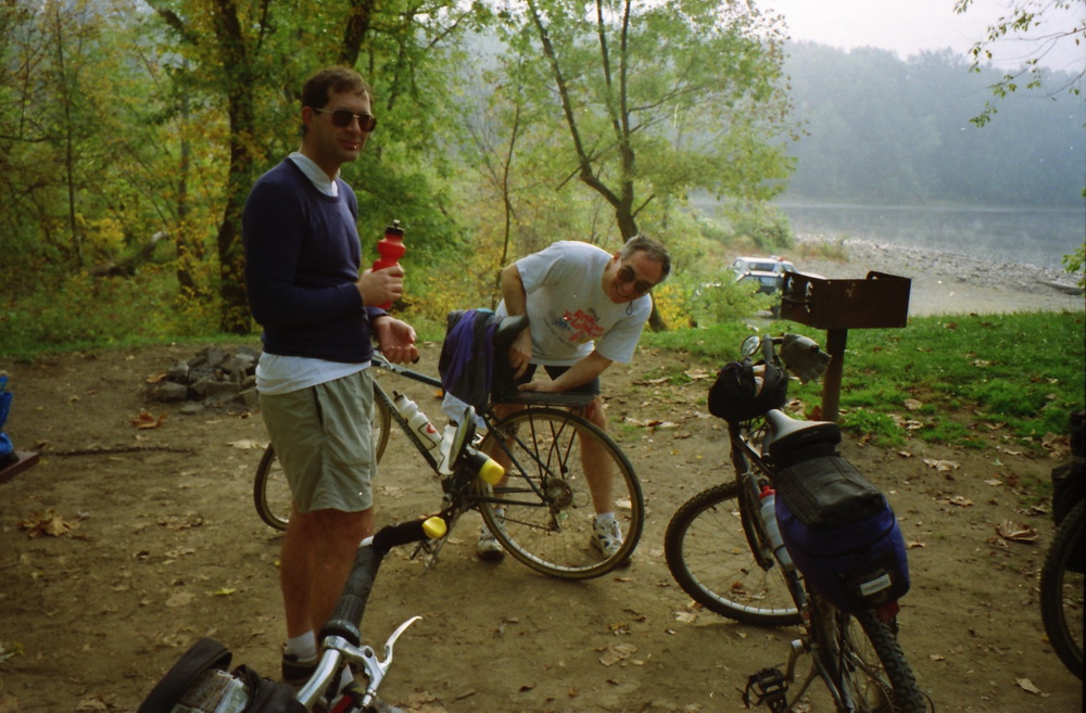
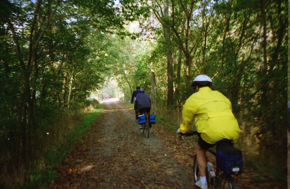
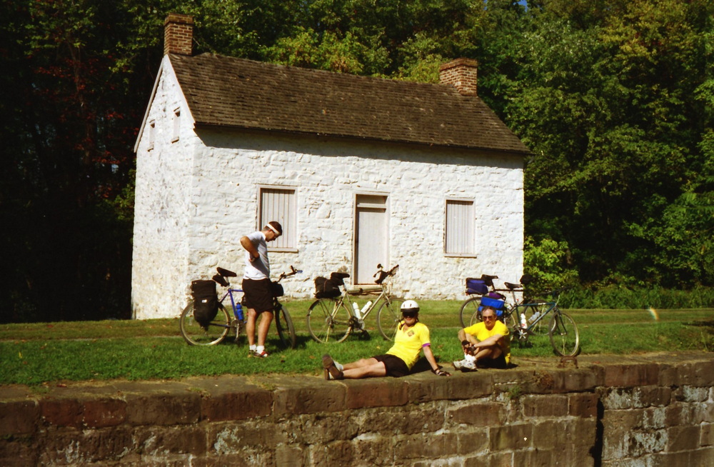
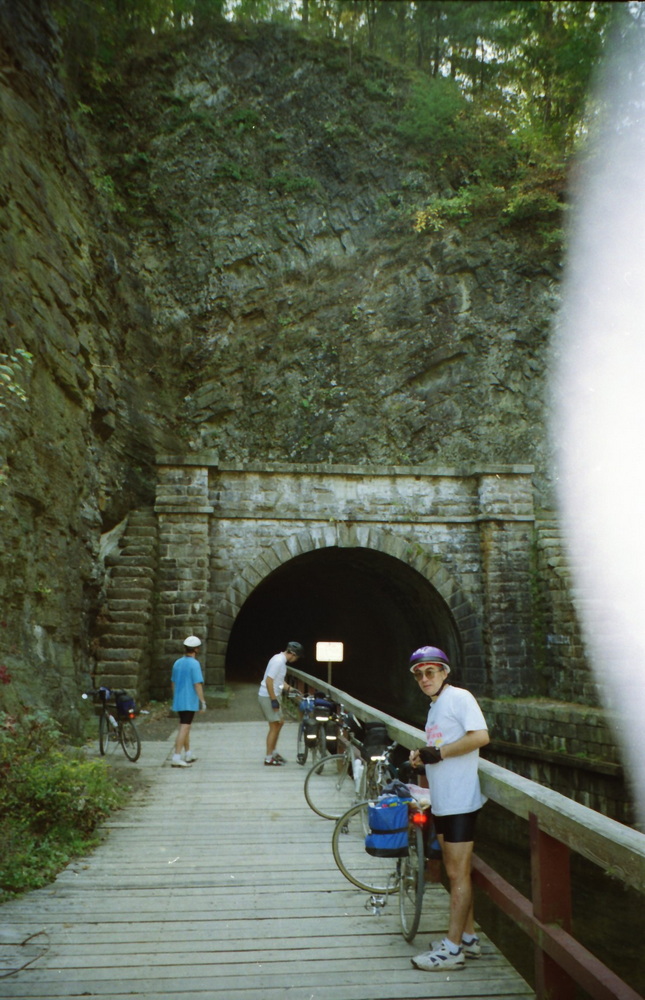
Mixsonian Larry

C&O Canal Bike Ride

At the start
As we head west the elevation rises and we pass several locks which once raised and lowered barges on the canal
We continued on the C&O Trail, passing Carder Rock where we camped with the Boy Scouts then on to Great Falls where we stopped for a break and a view of the falls.
At Great Falls the canal still has water and you can ride a barge passing through a canal lock.  [photo from later trip]
Shortly after Great Falls the tow path turns from dirt into a wooden walkway for a short distance.
The tow path is very scenic often under the shade of overhanging trees, here is Dennis next to a portion of the canal that had no water.
Dennis filling water bottle at well with handpump.
Here we stopped at the water intake on the river for the Washington Aqueduct which provides water to much of the city. I am on the right.
Me at a bridge over the canal.
The canal passes by Whites Ferry where we stopped for lunch. Julie and I once drove out to White’s Ferry and crossed over the river on the Ferry. I found it all quite interesting.
This is one of the 11 aqueducts which were built to carry the canal over streams. It reminded me of Roman aqueducts.
Late in the afternoon we reached the historic town of Harpers Ferry best known for John Brown’s Raid in 1859.  Harpers Ferry is at the confluence of the Potomac (on the right) and Shenandoah (on the left) Rivers and the three states, Maryland (and the C&O Canal) on the north side of the Potomac, Virginia on the south, while the town itself is in West Virginia. Photo is view from Maryland Heights on the Maryland side looking down on the railroad bridges and the town. [photo from later visit]
I was really happy when I first saw the bridge crossing over the Potomac to Harpers Ferry for I was quite tired after riding all day and covering over sixty miles. With the Canal being on the north side of the Potomac we had to carry our bikes across the railroad bridge to reach Harpers Ferry where we spent the night and had dinner at a hostel. We had covered just over 60 miles, and I was quite tired and slept well.
Pedestrian walkway on the bridge alongside the railroad tracks which we carried our bikes across. <br>Photo of my brother David from a later visit.
The next morning we got up early, had breakfast at the hostel, crossed back over the river and continued on.
View of the Potomac River looking north as seen from Maryland Hights. You can see the canal under the trees between the river and the road.
Here I am at Williamsport where there is another aqueduct carrying the canal with water in it over the Conochocheaque Creek.
Here we are at Dam #5 on the canal. Several dams were built to divert water from the river into the canal.
Dennis standing proudly by the post in the middle of the path that he ran into while riding his bike. He didn’t see it, he said. No harm done.
Taking a water break by the river.
Going down the path.
An empty lock.
This is one of the lock houses that were built next to the locks where the lock keeper would stay. The park service rents several of them out free of charge for people that will stay in them and maintain them. I considered it one year but decided against it but it would have been an interesting place to live.
Here we are at the Paw Paw Tunnel, 3,118-foot-long tunnel which in which the entire canal and tow path go though as a short cut through the mountain on a U shape bend in the river. I found it to be the most interesting part of the canal.
Yes, it was dark, you could not see the opposite end of the tunnel until well into it. We came prepared with flashlights.
Looking back out the entrance of the tunnel.
The four of us atop the tunnel exit arch.
At the end in Cumberland Maryland.
Bilkes loaded up and ready to return home. It was a great bike ride, one I’ll always remember.

text here